
Angar topographic map
Interactive map
Click on the map to display elevation.
About this map
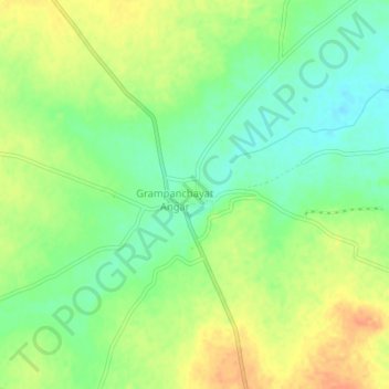
Name: Angar topographic map, elevation, terrain.
Location: Angar, Mohol, Solapur, Maharashtra, 413214, India (17.87796 75.55531 17.91796 75.59531)
Average elevation: 477 m
Minimum elevation: 457 m
Maximum elevation: 499 m