
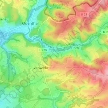
Wiebershausen topographic map
Interactive map
Click on the map to display elevation.
About this map
Name: Wiebershausen topographic map, elevation, terrain.
Average elevation: 143 m
Minimum elevation: 72 m
Maximum elevation: 232 m
Die Topographia Ducatus Montani des Erich Philipp Ploennies, Blatt Amt Miselohe, belegt, dass der Wohnplatz 1715 als zwei Höfe kategorisiert wurde und mit Bibeshus bezeichnet wurde.