
东洋河 topographic map
Interactive map
Click on the map to display elevation.
About this map
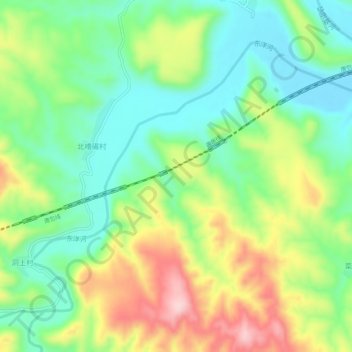
Name: 东洋河 topographic map, elevation, terrain.
Location: 东洋河, 尚义县, 张家口市, 中国 (40.87091 114.12326 40.90200 114.17705)
Average elevation: 1,160 m
Minimum elevation: 1,071 m
Maximum elevation: 1,305 m