
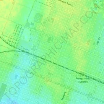
Ameghino topographic map
Interactive map
Click on the map to display elevation.
About this map
Name: Ameghino topographic map, elevation, terrain.
Average elevation: 70 m
Minimum elevation: 60 m
Maximum elevation: 78 m
Other topographic maps
Click on a map to view its topography, its elevation and its terrain.
Plaza Merced
Argentina > Buenos Aires > Pergamino
Plaza Merced, Centro, Pergamino, Partido de Pergamino, Buenos Aires, Argentina
Average elevation: 65 m