
春熙路街道 topographic map
Interactive map
Click on the map to display elevation.
About this map
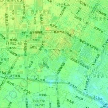
Name: 春熙路街道 topographic map, elevation, terrain.
Location: 春熙路街道, 锦江区, 成都市, 四川省, 610016, 中国 (30.64811 104.05738 30.66247 104.07887)
Average elevation: 500 m
Minimum elevation: 488 m
Maximum elevation: 511 m