
Thank you for supporting this site ❤️
Make a donation
Make a donation
Beloit topographic map
Click on the map to display elevation.
Thank you for supporting this site ❤️
Make a donation
Make a donation
About this map
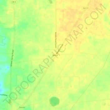
Name: Beloit topographic map, elevation, terrain.
Location: Beloit, Lee County, Georgia, United States (31.65378 -84.09685 31.69378 -84.05685)
Average elevation: 78 m
Minimum elevation: 59 m
Maximum elevation: 85 m
Thank you for supporting this site ❤️
Make a donation
Make a donation
Other topographic maps
Click on a map to view its topography, its elevation and its terrain.