
光板田村 topographic map
Interactive map
Click on the map to display elevation.
About this map
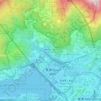
Name: 光板田村 topographic map, elevation, terrain.
Location: 光板田村, 木棉下村, 荃灣區, 新界, 香港, 中国 (22.35992 114.09237 22.39992 114.13237)
Average elevation: 176 m
Minimum elevation: -15 m
Maximum elevation: 739 m