
冬曲 topographic map
Interactive map
Click on the map to display elevation.
About this map
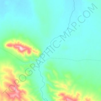
Name: 冬曲 topographic map, elevation, terrain.
Location: 冬曲, 雁石坪, 格尔木市, 海西蒙古族藏族自治州, 青海省, 中国 (33.64897 92.49348 33.74241 92.53348)
Average elevation: 4,675 m
Minimum elevation: 4,587 m
Maximum elevation: 4,990 m
Other topographic maps
Click on a map to view its topography, its elevation and its terrain.