
Junipero Serra Park topographic map
Interactive map
Click on the map to display elevation.
About this map
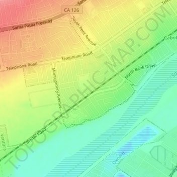
Name: Junipero Serra Park topographic map, elevation, terrain.
Average elevation: 49 m
Minimum elevation: 12 m
Maximum elevation: 93 m
Other topographic maps
Click on a map to view its topography, its elevation and its terrain.
Montalvo
United States > California > Ventura County > Ventura
Montalvo, Ventura, Ventura County, CAL Fire Southern Region, California, 93009, United States
Average elevation: 42 m
Casitas Springs
United States > California > Ventura County > Ventura > Casitas Springs
Casitas Springs, Ventura, Ventura County, California, 93022, United States
Average elevation: 182 m