
Thank you for supporting this site ❤️
Make a donation
Make a donation
Atomic City topographic map
Click on the map to display elevation.
Thank you for supporting this site ❤️
Make a donation
Make a donation
About this map
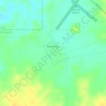
Name: Atomic City topographic map, elevation, terrain.
Location: Atomic City, Bingham County, Idaho, 83215, United States (43.44020 -112.81630 43.44626 -112.80763)
Average elevation: 1,533 m
Minimum elevation: 1,523 m
Maximum elevation: 1,546 m
Thank you for supporting this site ❤️
Make a donation
Make a donation
Other topographic maps
Click on a map to view its topography, its elevation and its terrain.