
Thank you for supporting this site ❤️
Make a donation
Make a donation
Belaouadi topographic map
Click on the map to display elevation.
Thank you for supporting this site ❤️
Make a donation
Make a donation
About this map
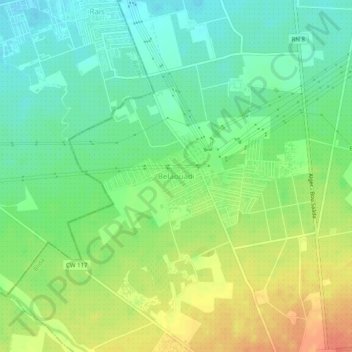
Name: Belaouadi topographic map, elevation, terrain.
Location: Belaouadi, Larbaa, Daïra Larbâa, Blida, 16189, Algérie (36.57371 3.12004 36.61371 3.16004)
Average elevation: 67 m
Minimum elevation: 45 m
Maximum elevation: 98 m
Thank you for supporting this site ❤️
Make a donation
Make a donation