
Thank you for supporting this site ❤️
Make a donation
Make a donation
Liaojia topographic map
Click on the map to display elevation.
Thank you for supporting this site ❤️
Make a donation
Make a donation
About this map
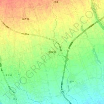
Name: Liaojia topographic map, elevation, terrain.
Location: Liaojia, Chengdu, Sichuan, China (30.67154 103.65287 30.75154 103.73287)
Average elevation: 560 m
Minimum elevation: 539 m
Maximum elevation: 585 m
Thank you for supporting this site ❤️
Make a donation
Make a donation
Other topographic maps
Click on a map to view its topography, its elevation and its terrain.
Wuhou District
The terrain of Wuhou District is flat, sloping from northwest to southeast, with an average altitude of 502.5 meters. The plains within the territory are composed of flood plains, alluvial fans, fan plains and other plains. The geological structure of the entire region is mainly Quaternary loose accumulations.
Average elevation: 492 m
Thank you for supporting this site ❤️
Make a donation
Make a donation