
Uintah County topographic map
Interactive map
Click on the map to display elevation.
About this map
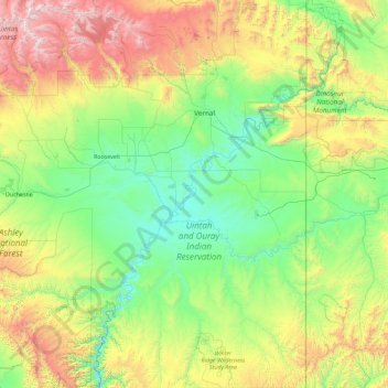
Name: Uintah County topographic map, elevation, terrain.
Location: Uintah County, Utah, Estados Unidos de América (39.46171 -110.04490 40.85840 -109.04789)
Average elevation: 2,055 m
Minimum elevation: 1,394 m
Maximum elevation: 4,098 m