
新北区 topographic map
Interactive map
Click on the map to display elevation.
About this map
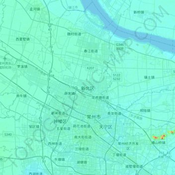
Name: 新北区 topographic map, elevation, terrain.
Location: 新北区, 常州市, 江苏省, 213000, 中国 (31.70447 119.79625 32.02447 120.11625)
Average elevation: 6 m
Minimum elevation: -2 m
Maximum elevation: 85 m
Other topographic maps
Click on a map to view its topography, its elevation and its terrain.