
Thank you for supporting this site ❤️
Make a donation
Make a donation
Winchester topographic map
Click on the map to display elevation.
Thank you for supporting this site ❤️
Make a donation
Make a donation
About this map
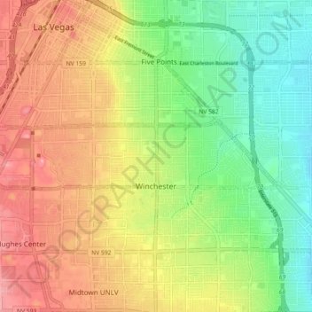
Name: Winchester topographic map, elevation, terrain.
Location: Winchester, Las Vegas, Clark County, Nevada, United States (36.12941 -115.20815 36.15258 -115.08381)
Average elevation: 599 m
Minimum elevation: 526 m
Maximum elevation: 684 m
Thank you for supporting this site ❤️
Make a donation
Make a donation