
Thank you for supporting this site ❤️
Make a donation
Make a donation
Dettifoss topographic map
Click on the map to display elevation.
Thank you for supporting this site ❤️
Make a donation
Make a donation
About this map
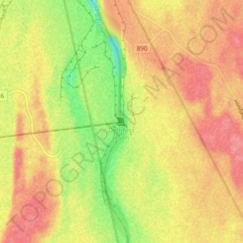
Name: Dettifoss topographic map, elevation, terrain.
Location: Dettifoss, Norðurþing, Northeastern Region, Iceland (65.81425 -16.38445 65.81435 -16.38435)
Average elevation: 341 m
Minimum elevation: 294 m
Maximum elevation: 371 m
Thank you for supporting this site ❤️
Make a donation
Make a donation