
Thank you for supporting this site ❤️
Make a donation
Make a donation
Kankakee topographic map
Click on the map to display elevation.
Thank you for supporting this site ❤️
Make a donation
Make a donation
Kankakee
Greater Kankakee Airport covers an area of 950 acres (380 ha) (384 ha) at an elevation of 629 feet (192 m) above mean sea level. It has two runways with asphalt surfaces: 4/22 is 5,981 by 100 feet (1,823 x 30 m) and 16/34 is 4,398 by 75 feet (1,341 x 23 m).
Thank you for supporting this site ❤️
Make a donation
Make a donation
About this map
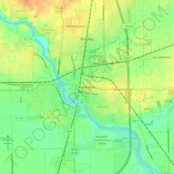
Name: Kankakee topographic map, elevation, terrain.
Location: Kankakee, Kankakee County, Illinois, 60901, United States (41.08003 -87.90115 41.16003 -87.82115)
Average elevation: 195 m
Minimum elevation: 178 m
Maximum elevation: 214 m
Thank you for supporting this site ❤️
Make a donation
Make a donation