
Fahrenbacher Str. 108, 64658 Fürth, Deutschland topographic map
Interactive map
Click on the map to display elevation.
About this map
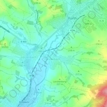
Name: Fahrenbacher Str. 108, 64658 Fürth, Deutschland topographic map, elevation, terrain.
Average elevation: 206 m
Minimum elevation: 175 m
Maximum elevation: 295 m