
El Ouricia topographic map
Interactive map
Click on the map to display elevation.
About this map
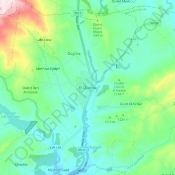
Name: El Ouricia topographic map, elevation, terrain.
Location: El Ouricia, Daïra Aïn Arnat, Sétif, 19047, Algérie (36.24377 5.36957 36.32377 5.44957)
Average elevation: 1,184 m
Minimum elevation: 1,038 m
Maximum elevation: 1,636 m