
Les Prasses topographic map
Interactive map
Click on the map to display elevation.
About this map
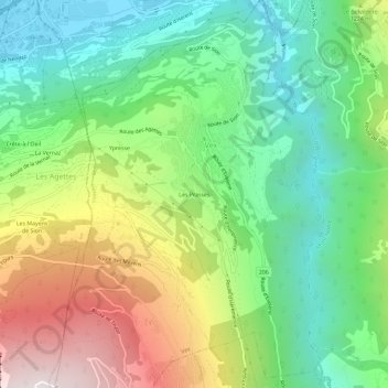
Name: Les Prasses topographic map, elevation, terrain.
Location: Les Prasses, Vex, Ering, Wallis, 2305, Schweiz (46.18629 7.37589 46.22629 7.41589)
Average elevation: 1,039 m
Minimum elevation: 487 m
Maximum elevation: 1,986 m