
Huacariz topographic map
Interactive map
Click on the map to display elevation.
About this map
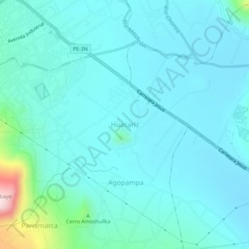
Name: Huacariz topographic map, elevation, terrain.
Location: Huacariz, Cajamarca, 06003, Perú (-7.21568 -78.49270 -7.17568 -78.45270)
Average elevation: 2,677 m
Minimum elevation: 2,618 m
Maximum elevation: 3,064 m