
Маркаколь topographic map
Interactive map
Click on the map to display elevation.
About this map
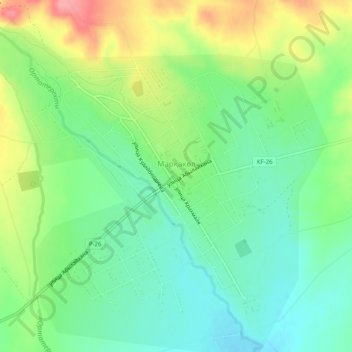
Name: Маркаколь topographic map, elevation, terrain.
Location: Маркаколь, Курчумский район, Kazakhstan-Oriental, Kazakhstan (48.41096 85.70635 48.44047 85.75630)
Average elevation: 618 m
Minimum elevation: 582 m
Maximum elevation: 679 m