
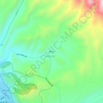
麻拉河 topographic map
Interactive map
Click on the map to display elevation.
About this map
Name: 麻拉河 topographic map, elevation, terrain.
Location: 麻拉河, 祁连县, 海北藏族自治州, 青海省, 中国 (38.17672 100.25535 38.21672 100.29535)
Average elevation: 2,956 m
Minimum elevation: 2,714 m
Maximum elevation: 3,466 m
Other topographic maps
Click on a map to view its topography, its elevation and its terrain.