
Tanaff topographic map
Interactive map
Click on the map to display elevation.
About this map
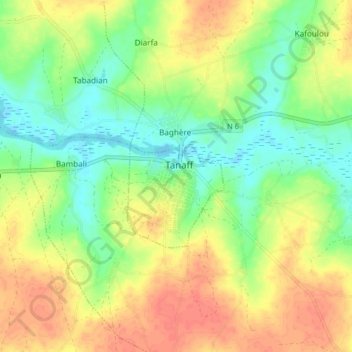
Name: Tanaff topographic map, elevation, terrain.
Location: Tanaff, Département de Goudomp, Sédhiou, Sénégal (12.61304 -15.46853 12.69304 -15.38853)
Average elevation: 23 m
Minimum elevation: -1 m
Maximum elevation: 47 m