
Baxter topographic map
Interactive map
Click on the map to display elevation.
About this map
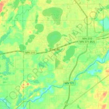
Name: Baxter topographic map, elevation, terrain.
Location: Baxter, Crow Wing County, Minnesota, 56425, United States (46.28982 -94.32816 46.38763 -94.21795)
Average elevation: 366 m
Minimum elevation: 348 m
Maximum elevation: 390 m
Other topographic maps
Click on a map to view its topography, its elevation and its terrain.