
Ben Choubane topographic map
Interactive map
Click on the map to display elevation.
About this map
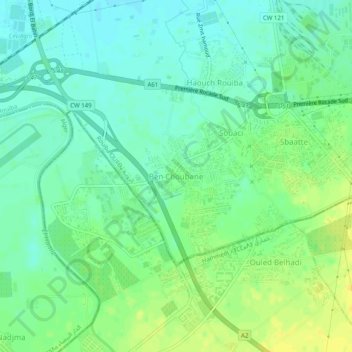
Name: Ben Choubane topographic map, elevation, terrain.
Location: Ben Choubane, Rouiba, Daïra Rouiba, Alger, 16012, Algérie (36.68804 3.25082 36.72804 3.29082)
Average elevation: 27 m
Minimum elevation: 17 m
Maximum elevation: 39 m
Other topographic maps
Click on a map to view its topography, its elevation and its terrain.
Oued Bouréah
Algérie > Alger > Daïra Rouiba > Rouiba
Oued Bouréah, LPP Ahmed Medeghri, Rouiba, Daïra Rouiba, Alger, 16012, Algérie
Average elevation: 15 m