
Thank you for supporting this site ❤️
Make a donation
Make a donation
Loura topographic map
Click on the map to display elevation.
Thank you for supporting this site ❤️
Make a donation
Make a donation
About this map
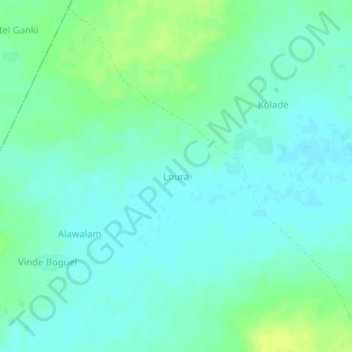
Name: Loura topographic map, elevation, terrain.
Location: Loura, Djibo, Soum, Sahel, Burkina Faso (14.18180 -1.70800 14.22180 -1.66800)
Average elevation: 291 m
Minimum elevation: 285 m
Maximum elevation: 302 m
Thank you for supporting this site ❤️
Make a donation
Make a donation