
Argenteau topographic map
Interactive map
Click on the map to display elevation.
About this map
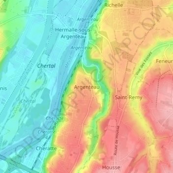
Name: Argenteau topographic map, elevation, terrain.
Location: Argenteau, Liège, Wallonie, 4601, Belgique (50.67824 5.66555 50.71824 5.70555)
Average elevation: 104 m
Minimum elevation: 53 m
Maximum elevation: 170 m