
太阳河 topographic map
Interactive map
Click on the map to display elevation.
About this map
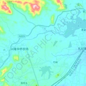
Name: 太阳河 topographic map, elevation, terrain.
Location: 太阳河, 万宁市, 海南省, 中国 (18.72868 110.19607 18.78818 110.32456)
Average elevation: 53 m
Minimum elevation: 12 m
Maximum elevation: 412 m