
Thank you for supporting this site ❤️
Make a donation
Make a donation
Shamshi Thach topographic map
Click on the map to display elevation.
Thank you for supporting this site ❤️
Make a donation
Make a donation
About this map
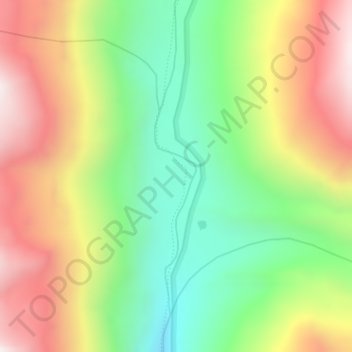
Name: Shamshi Thach topographic map, elevation, terrain.
Location: Shamshi Thach, Bhuntar, Kullu, Himachal Pradesh, India (32.10856 77.47095 32.12856 77.49095)
Average elevation: 4,124 m
Minimum elevation: 3,722 m
Maximum elevation: 4,611 m
Thank you for supporting this site ❤️
Make a donation
Make a donation