
Le Chêne topographic map
Interactive map
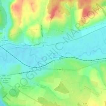
Click on the map to display elevation.
About this map
Name: Le Chêne topographic map, elevation, terrain.
Average elevation: 212 m
Minimum elevation: 188 m
Maximum elevation: 252 m
Other topographic maps
Click on a map to view its topography, its elevation and its terrain.
Le Gros Fou
France > Bourgogne-Franche-Comté > Nièvre > Champvert
Le Gros Fou, Champvert, Nevers, Nièvre, Bourgogne-Franche-Comté, France métropolitaine, 58300, France
Average elevation: 235 m