
Thank you for supporting this site ❤️
Make a donation
Make a donation
North Forest topographic map
Click on the map to display elevation.
Thank you for supporting this site ❤️
Make a donation
Make a donation
About this map
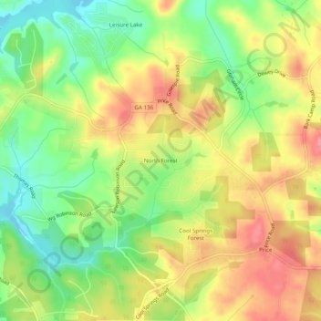
Name: North Forest topographic map, elevation, terrain.
Location: North Forest, Hall County, Georgia, 50564, United States (34.37760 -83.95685 34.41760 -83.91685)
Average elevation: 368 m
Minimum elevation: 324 m
Maximum elevation: 410 m
Thank you for supporting this site ❤️
Make a donation
Make a donation