
Thank you for supporting this site ❤️
Make a donation
Make a donation
Kraft topographic map
Click on the map to display elevation.
Thank you for supporting this site ❤️
Make a donation
Make a donation
About this map
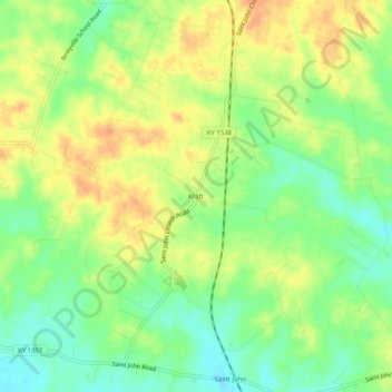
Name: Kraft topographic map, elevation, terrain.
Location: Kraft, Hardin County, Kentucky, 40162, United States (37.69701 -85.99080 37.73701 -85.95080)
Average elevation: 247 m
Minimum elevation: 227 m
Maximum elevation: 265 m
Thank you for supporting this site ❤️
Make a donation
Make a donation