
Thank you for supporting this site ❤️
Make a donation
Make a donation
Batu Undan topographic map
Click on the map to display elevation.
Thank you for supporting this site ❤️
Make a donation
Make a donation
About this map
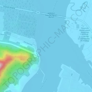
Name: Batu Undan topographic map, elevation, terrain.
Location: Batu Undan, Sitiawan, Manjung, Perak, Malaysia (4.27145 100.65720 4.27194 100.65834)
Average elevation: 19 m
Minimum elevation: 0 m
Maximum elevation: 277 m
Thank you for supporting this site ❤️
Make a donation
Make a donation
Other topographic maps
Click on a map to view its topography, its elevation and its terrain.