
Kaufman County topographic map
Interactive map
Click on the map to display elevation.
About this map
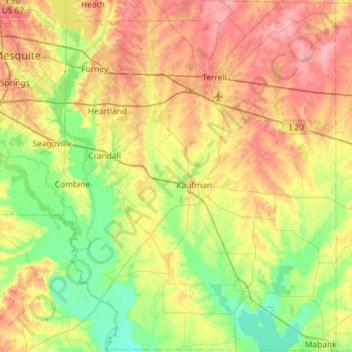
Name: Kaufman County topographic map, elevation, terrain.
Location: Kaufman County, Texas, Estados Unidos de América (32.35740 -96.53233 32.84173 -96.07555)
Average elevation: 132 m
Minimum elevation: 93 m
Maximum elevation: 187 m