
Guernsey County topographic map
Interactive map
Click on the map to display elevation.
About this map
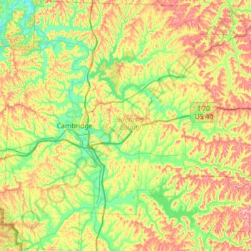
Name: Guernsey County topographic map, elevation, terrain.
Location: Guernsey County, Ohio, États-Unis d'Amérique (39.83918 -81.72858 40.22247 -81.22588)
Average elevation: 293 m
Minimum elevation: 224 m
Maximum elevation: 407 m