
Thank you for supporting this site ❤️
Make a donation
Make a donation
West Point topographic map
Click on the map to display elevation.
Thank you for supporting this site ❤️
Make a donation
Make a donation
About this map
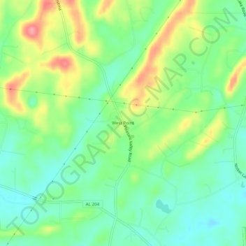
Name: West Point topographic map, elevation, terrain.
Location: West Point, Calhoun County, Alabama, 36265, United States (33.82649 -85.82969 33.86649 -85.78969)
Average elevation: 205 m
Minimum elevation: 171 m
Maximum elevation: 263 m
Thank you for supporting this site ❤️
Make a donation
Make a donation