
Loenen topographic map
Interactive map
Click on the map to display elevation.
About this map
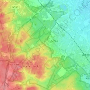
Name: Loenen topographic map, elevation, terrain.
Location: Loenen, Apeldoorn, Geldern, Niederlande (52.07334 5.94564 52.15391 6.07848)
Average elevation: 35 m
Minimum elevation: 6 m
Maximum elevation: 91 m