
Thank you for supporting this site ❤️
Make a donation
Make a donation
Taíde topographic map
Click on the map to display elevation.
Thank you for supporting this site ❤️
Make a donation
Make a donation
About this map
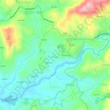
Name: Taíde topographic map, elevation, terrain.
Location: Taíde, Póvoa de Lanhoso, Braga, Portugal (41.54019 -8.25990 41.57688 -8.20145)
Average elevation: 204 m
Minimum elevation: 125 m
Maximum elevation: 384 m
Thank you for supporting this site ❤️
Make a donation
Make a donation