
Enefis topographic map
Interactive map
Click on the map to display elevation.
About this map
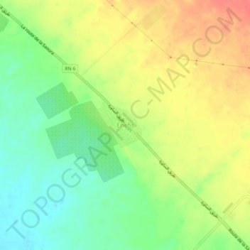
Name: Enefis topographic map, elevation, terrain.
Location: Enefis, Reggane, Daïra de Reggane, Adrar, 01200, Algérie (26.73072 0.11216 26.77072 0.15216)
Average elevation: 209 m
Minimum elevation: 180 m
Maximum elevation: 239 m