
Phú Hộ topographic map
Interactive map
Click on the map to display elevation.
About this map
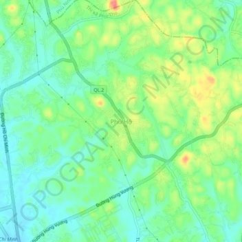
Name: Phú Hộ topographic map, elevation, terrain.
Location: Phú Hộ, Province de Phú Thọ, Viêt Nam (21.41983 105.23432 21.45983 105.27432)
Average elevation: 38 m
Minimum elevation: 14 m
Maximum elevation: 81 m
Other topographic maps
Click on a map to view its topography, its elevation and its terrain.
Thị xã Phú Thọ
Viêt Nam > Province de Phú Thọ > Thị xã Phú Thọ
Thị xã Phú Thọ, Province de Phú Thọ, Viêt Nam
Average elevation: 30 m