
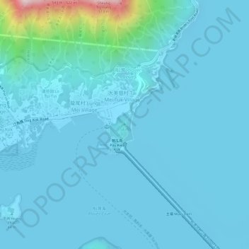
大美督家樂徑觀景台 topographic map
Interactive map
Click on the map to display elevation.
About this map
Name: 大美督家樂徑觀景台 topographic map, elevation, terrain.
Location: 大美督家樂徑觀景台, 大尾篤家樂徑, 大美督, 黃竹村, 大美督村, 大埔區, 新界, 香港, 中国 (22.47094 114.23483 22.47104 114.23493)
Average elevation: 41 m
Minimum elevation: -2 m
Maximum elevation: 448 m