
随县 topographic map
Interactive map
Click on the map to display elevation.
About this map
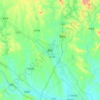
Name: 随县 topographic map, elevation, terrain.
Location: 随县, 随州市, 湖北省, 中国 (31.71799 113.12784 32.03799 113.44784)
Average elevation: 116 m
Minimum elevation: 60 m
Maximum elevation: 340 m
Other topographic maps
Click on a map to view its topography, its elevation and its terrain.