
Olofströms kommun topographic map
Interactive map
Click on the map to display elevation.
About this map
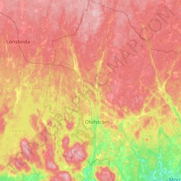
Name: Olofströms kommun topographic map, elevation, terrain.
Location: Olofströms kommun, Blekinge County, Sweden (56.19048 14.39016 56.45999 14.74665)
Average elevation: 109 m
Minimum elevation: 9 m
Maximum elevation: 187 m