
Thank you for supporting this site ❤️
Make a donation
Make a donation
Bovenistier topographic map
Click on the map to display elevation.
Thank you for supporting this site ❤️
Make a donation
Make a donation
About this map
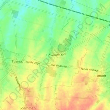
Name: Bovenistier topographic map, elevation, terrain.
Location: Bovenistier, Waremme, Liège, Wallonie, 4300, Belgique (50.64761 5.26443 50.68761 5.30443)
Average elevation: 139 m
Minimum elevation: 117 m
Maximum elevation: 161 m
Thank you for supporting this site ❤️
Make a donation
Make a donation
Other topographic maps
Click on a map to view its topography, its elevation and its terrain.