
Humphrey topographic map
Interactive map
Click on the map to display elevation.
About this map
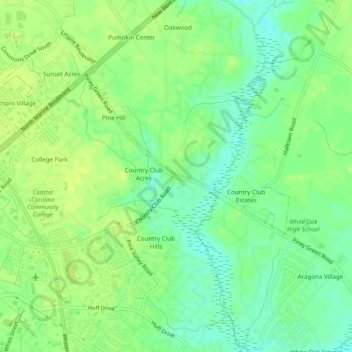
Name: Humphrey topographic map, elevation, terrain.
Average elevation: 10 m
Minimum elevation: 0 m
Maximum elevation: 17 m
Other topographic maps
Click on a map to view its topography, its elevation and its terrain.
Bayshore
United States > North Carolina > Onslow County > Jacksonville
Bayshore, Jacksonville, Onslow County, North Carolina, 28540, United States
Average elevation: 6 m