
Thank you for supporting this site ❤️
Make a donation
Make a donation
Averbeck topographic map
Click on the map to display elevation.
Thank you for supporting this site ❤️
Make a donation
Make a donation
About this map
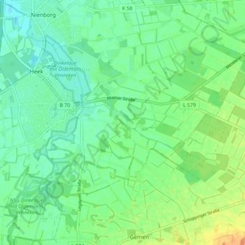
Name: Averbeck topographic map, elevation, terrain.
Location: Averbeck, Heek, Kreis Borken, Nordrhein-Westfalen, Deutschland (52.08924 7.09202 52.13812 7.17437)
Average elevation: 57 m
Minimum elevation: 45 m
Maximum elevation: 78 m
Thank you for supporting this site ❤️
Make a donation
Make a donation