
Menoken topographic map
Interactive map
Click on the map to display elevation.
About this map
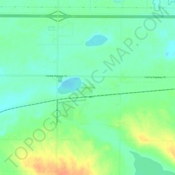
Name: Menoken topographic map, elevation, terrain.
Average elevation: 528 m
Minimum elevation: 512 m
Maximum elevation: 556 m
Other topographic maps
Click on a map to view its topography, its elevation and its terrain.
Bismarck
United States > North Dakota > Burleigh County
Bismarck, Burleigh County, North Dakota, United States
Average elevation: 523 m
Bismarck
United States > North Dakota > Burleigh County > Bismarck
Bismarck, Burleigh County, North Dakota, 58501, United States
Average elevation: 546 m