
双江村 topographic map
Interactive map
Click on the map to display elevation.
About this map
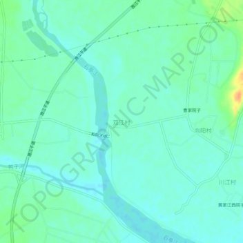
Name: 双江村 topographic map, elevation, terrain.
Location: 双江村, 德阳市, 四川省, 中国 (30.95049 104.35140 30.99049 104.39140)
Average elevation: 458 m
Minimum elevation: 449 m
Maximum elevation: 486 m
Other topographic maps
Click on a map to view its topography, its elevation and its terrain.