
勐养农场 topographic map
Interactive map
Click on the map to display elevation.
About this map
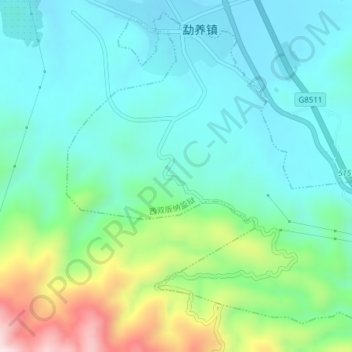
Name: 勐养农场 topographic map, elevation, terrain.
Location: 勐养农场, 景洪市, 西双版纳傣族自治州, 云南省, 666100, 中国 (22.05634 100.87864 22.08940 100.91691)
Average elevation: 871 m
Minimum elevation: 750 m
Maximum elevation: 1,236 m
Other topographic maps
Click on a map to view its topography, its elevation and its terrain.